Duration: Four days
Max. Elevation: 4,350m
Highest Camp: 3,850m
Standard: Medium
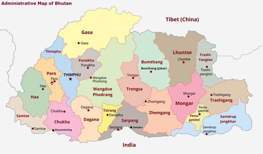
Start: Haa valley
Finish: Chelila Pass
SUMMARY
- Stunning view of the entire Haa valley, spectacular glimpses of Mt Jomolhari (Mountain Goddess), Jitchu Drake and others
- Summit of Kung Karpo (Sky Burial) at 4,350 meters.
- Offers you parallel views of Paro and Haa valleys
- Chelila Pass, Bhutan’s highest road point (3980m)
ITINERARY
Day 1: Haa Valley – Sagala (Time 3 ½ hours)
The trek initially takes you through an unpaved motor road for less than an hour after which you will be taking the footpath trail on the right side of the village, which will lead you to a gradual ascend through a yak herder’s camp. At the end of the yak herder’s camp, there are two different trails. You will need to take the right side trail to make your final climb towards the camp just below Saga La pass, which is at 3,550 meters.
Day 2: Sagala – Ningula (Time 5 ½ hours)
After 30 minutes, you will reach the Sagala pass (3,550 meters). On a day with clear weather, one can have a stunning view of Mt. Jumolhari and Jitchu Drake. Once this pass is crossed, begin walking on the right side of the trail. After several ascents and descents on a trail through rhododendron tress and meadows, you will finally reach the top of a ridge at 4100 meters, from where you see the entire Haa valley. The rest of the trek again involves occasional ascents and descents through forests of Hemlock and Juniper until the camp at an elevation of 3850 meters.
Day 3: Ningula – Kung Karpo – Thimphu (Time 6 hours)
As you trek after breakfast, you will start descending for a few minutes, before following the ridge which traverses through meadows of yak herder’s camp. At the end of the meadow, the ascend towards Kung Karpo begins through tall rhododendron trees and meadows with stone cairns. It would take about 2 hours.
A spectacular view of Haa valley is sighted as you climb up through these stone cairns and reach a pass before Kung Karpo. The next highlight is Kung Karpo (Sky Burial at 4350 meters). At Kung Karpo, one can scale and reach the top of the mountain to see the Sky Burial.
From Kung Karpo begins a trail that ascends and descends. All along the route, you will see Paro valley on the left and Haa valley on the right. You can also feast on a view of Kila Goenpa Nunnery.
Once you reach the final ridge, your trek is downhill until you reach Chelela pass (3980 meters). It takes about 90 minutes to reach Chelela pass from Kung Karpo.
From Chelela pass, you will be driven to Thimphu, where you will halt the night at a hotel.
