Duration: Four days
Max. Elevation: 3,400m
Highest Camp: 3,360m
Standard: Easy
Best Seasons: September to May
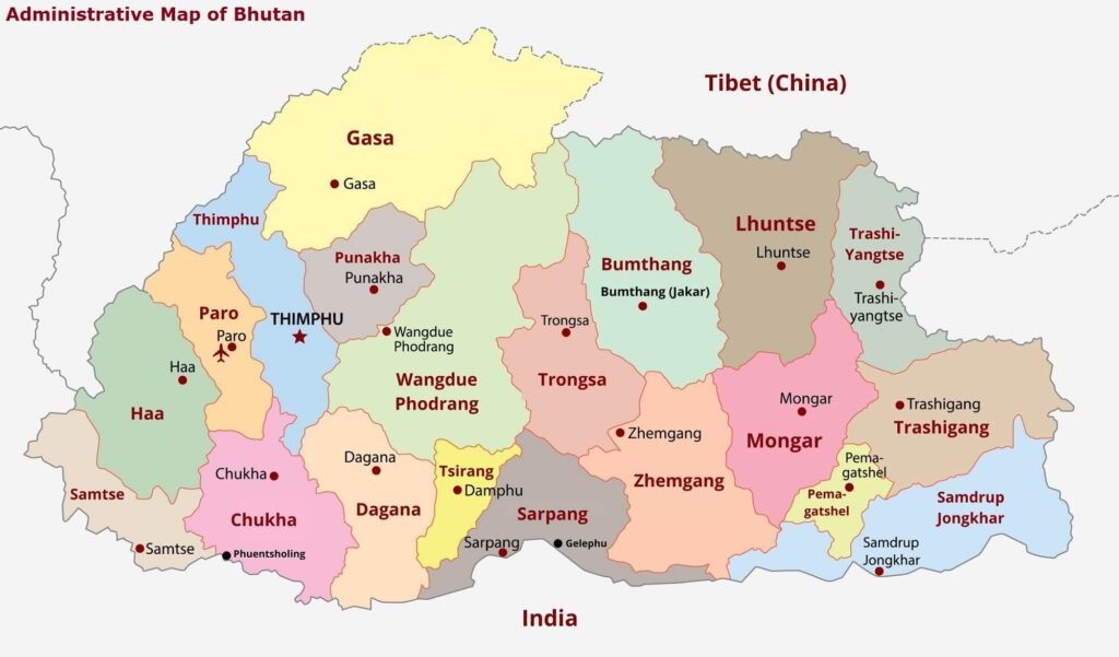
Start: Dechencholing (Thimphu)
Finish: Zomlingthang (Punakha)
SUMMARY
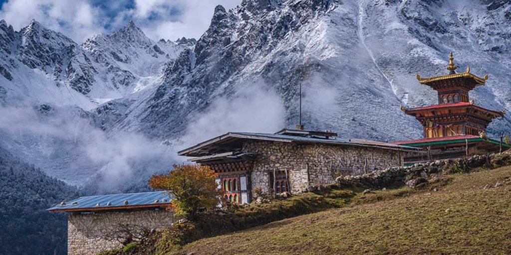
- Trek along the ancient walking route from Thimphu to Punakha.
- Scenic landscape, forest and several villages.
- See rural Bhutan
ITINERARY
Day 1: Dechencholing – Chamina (four to five hours, ascent 860m, camp altitude 3,360m).
After a short drive from Thimphu to Pangrizampa, along the banks of the Wangchu river, you will start the trek. It is a leisurly hike traversing through some traditional and beautiful villages. You will reach Shong Pang and then Chamina village, your camp for the night.
Day 2: Chamina – Dopshing Pang (seven to eight hours).
A fairly harder trek, today you will need to make a gradual ascend until Sinchula (Pass, 3,400m). On a clear day, you can Phajoding monastery, located just above Thimphu from here. After about another two kilometers walk, you reach another pass, from where Thinleygang village, Talo Monastery and the motor highway towards the ancient capital of Bhutan, Punakha, is visible. Once you cross the pass, the trek is a gradual descend, until the campsite at Dopshing Pang.
Day 3: Dopshing Pang – Chorten Ningpo (eight hours, camp altitude 2,700m).
It is an easy trek that will take you through thick forests, villages and rice fields. Chorten Ningpo is linked to Drukpa Kuenley, popularly known as the “divine madman”. You will be camping right infront of the temple.
Day 4: Chorten Ningpo – Zomlingthang (two to three hours).
Today too, you will be trekking through several villages until you reach a motor road. It takes about two to three hours. From the road, you walk till Punakha following it.
